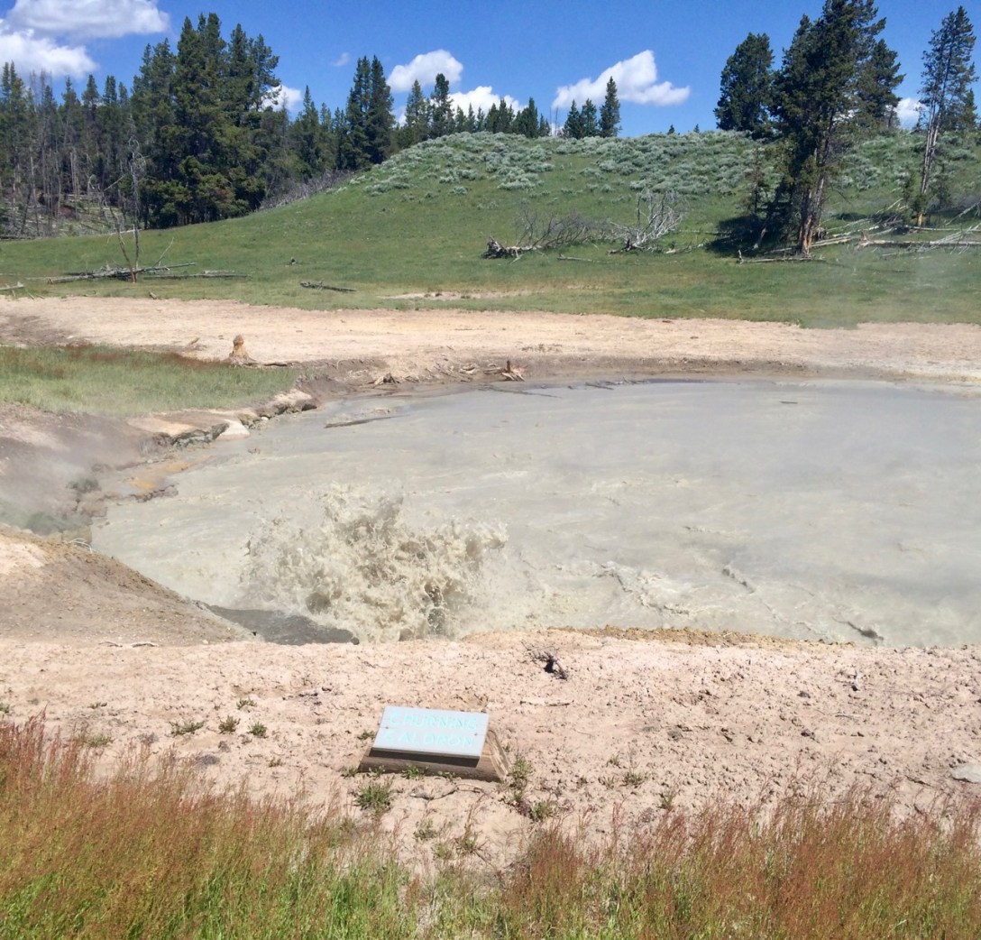
The only agenda item for the day was to get to Grebe Lake and lay low for the weekend. Along the way I got my first real taste of Yellowstone’s geothermal activity in the Mud Volcano area. The variety of bizarre features that result from differing combinations of water, heat, and noxious gases are incredible — even without the thermophiles and explosive pressures that characterize the park’s more famous geological curiosities.
I ate a cheeseburger, stuffed things into my pack, clawed through an absurd cloud of mosquitoes, and after 3.2 mostly flat miles arrived at my home for the next two nights.
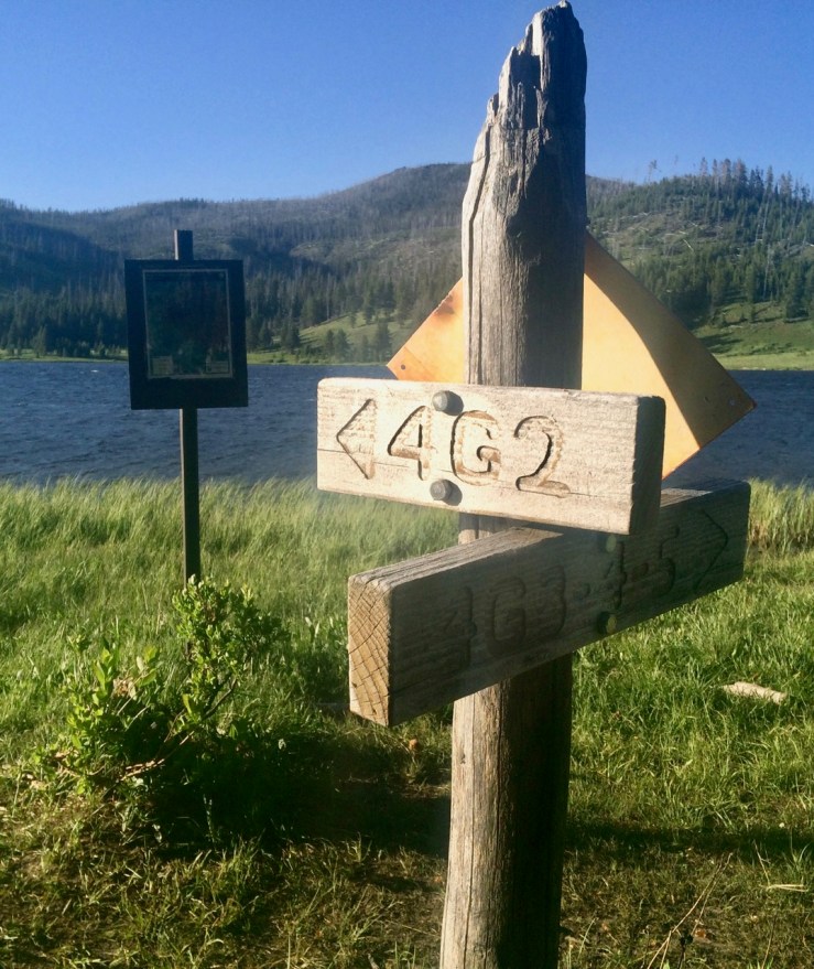
Pic: Sign sweet sign. Grebe Lake, Yellowstone NP, WY
Pic: Hey, that’s the name of the park! Yellow stone in the Grand Canyon, Yellowstone NP, WY
One pulled pork sandwich and one cone of Wilcoxson’s Rocky Road devoured, I headed for the Grand Canyon of the Yellowstone River. Viewpoints dot both sides of the stunning gorge, but dinner in Canyon Village started me on the North Rim.
The first trail I found, Brink of Lower Falls, happened to be the highlight of the evening. I was skeptical of its 250 feet of switchbacks after my non-trivial morning, but standing next to millions of gallons of water plunging into the yellow cliffs 300 feet below was a worthy reward.
Vid: A lot of water falling a long way. Check out the leftover snow in the shadows on the north-facing side of the canyon. Brink of Lower Falls, Yellowstone NP, WY
Remember Thomas Moran? One of his most famous paintings is said to come from a sketch Moran made at what is now called Artist Point. That story is apparently apocryphal but the name and the splendor of the view remain.
As the summer sun finally gave up and sank to the west, I arrived at my last stop: Uncle Tom’s Trail. I knew it involved stairs and went down to a view of the waterfall. I also knew that darkness was falling quickly and that I was solo in grizzly country. A guy in the parking lot saw my hesitation and offered this advice: “Eh, you can probably make it. Especially if you have a flashlight.”
I followed the trail down bit by bit, passed a couple on their way back (“Someone doing this even later than us — nice!”), and came to a sign declaring that the last bit was very steep and that returning would be difficult. Challenge accepted.
I enjoyed Lower Falls in the last light of the evening — alone at a popular spot in the most famous park in the world — then trudged five hundred feet back up the stairs and switchbacks to the parking lot. My feet ached from the 10+ mile, 2200+’ day, but at least there was no one on the road at this hour. I zipped through dark forests of lodgepole pine blasting Tool’s Undertow.
I was glad to have a reserved campsite waiting for me. It was nearly midnight by the time I pitched the tent, crawled inside, and crashed.
The day’s first order of business was to find out why I couldn’t camp anywhere last night. I’d seen the camp host walking around so I knocked on the door of his RV and asked why everything was closed.
“Intense grizzly activity,” Gene told me. “A mom with four cubs — usually they only have one or two. I’ve seen ’em on webcam dragging carcasses into the river bed.”
In other words, not a great scenario for tent camping. Since Gene’s campground was one of the few open for non-hardsided camping, I reserved another night at shelterless site #30. At least it would free me to stay out late playing in the park.
Somewhere between bear activity and site reservations Gene proclaimed, unprompted, “I don’t care what kind of environmentalist you are — wolves don’t belong in Wyoming.” I said, after a pause, that I knew ranchers weren’t big fans of the Yellowstone wolves’ recent rebound. Gene only shook his head: “Wolves are killing machines.”
I listened to a few more of Gene’s Wolf Facts, a bonus story about the Buffalo Bill museum displaying a mummified Indian for years despite the horror of the local native population, and an endorsement of Gene’s wife’s Subaru for driving in icy Wyoming winters. Then it was time to hit the park.
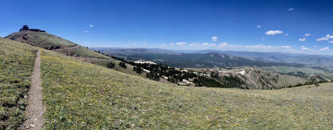
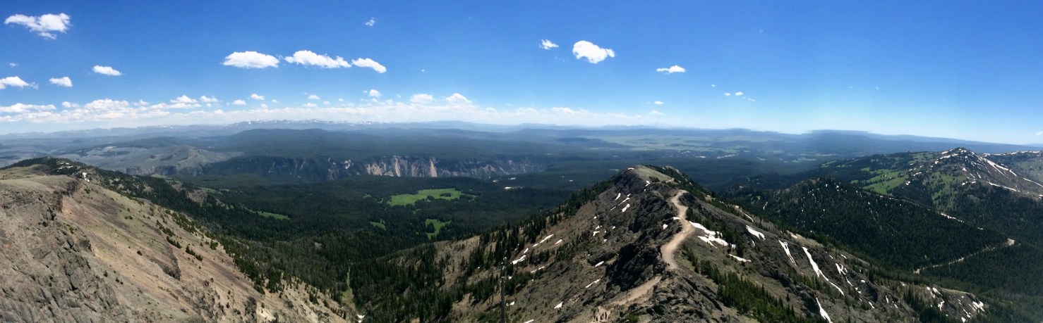
I survived my first elk jam in Hayden Valley — some handsome bulls loitering by the side of the road — and proceeded up to Dunraven Pass. When exploring a new area, it’s always nice to ascend to a high point and get the lay of the land. The place to do this in Yellowstone is Mt. Washburn. While the hike’s 6.4 miles[1] and 1400′ of climbing aren’t exactly trivial, the trail is well-routed (it’s an old fire road; chunks of asphalt are still evident in the switchback section) with limited cliff exposure which makes it perfect for families with children or other less-experienced backcountry travellers.
Plus, the rewards are incredible. “Panoramic” is a word that gets thrown around a lot, but the views from the top of Mt. Washburn are truly 360 degrees of spectacle: mindbogglingly expansive meadows stuffed with green grass, snow-capped mountains in all directions, and my first glimpse of the Grand Canyon of the Yellowstone.
Pic: Center left: Grand Canyon of the Yellowstone. Center right: Mt. Washburn trail headed back to the road. View southwest from Mt. Washburn Lookout, Yellowstone NP, WY. Larger image
It was, however, a little breezy at the top. I don’t know how strong wind has to be before it prevents a full-grown adult from walking a broad road in a straight line, but this wind was that strong.
Vid: Panoramic views or shelter from the wind: pick one. Mt. Washburn Lookout, Yellowstone NP, WY
[1] Add 0.5 miles if you arrive late due to an elk jam and have to park in a pullout below the trailhead lot.


