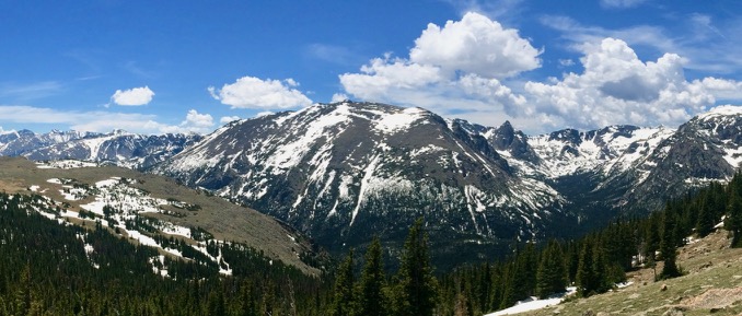
Pic: When Dave struggled to recommend hikes, this snowpack was why. Trail Ridge Road, Rocky Mountain NP, CO
Compared to the mountains I’m accustomed to, there was a lot of snow for June. During my stop at the Gore Range Overlook, I even encountered a fellow in his 20s skinning back up to his truck. I asked where he’d been skiing. He smirked and shook his head: “There’s lots of snow everywhere still.”
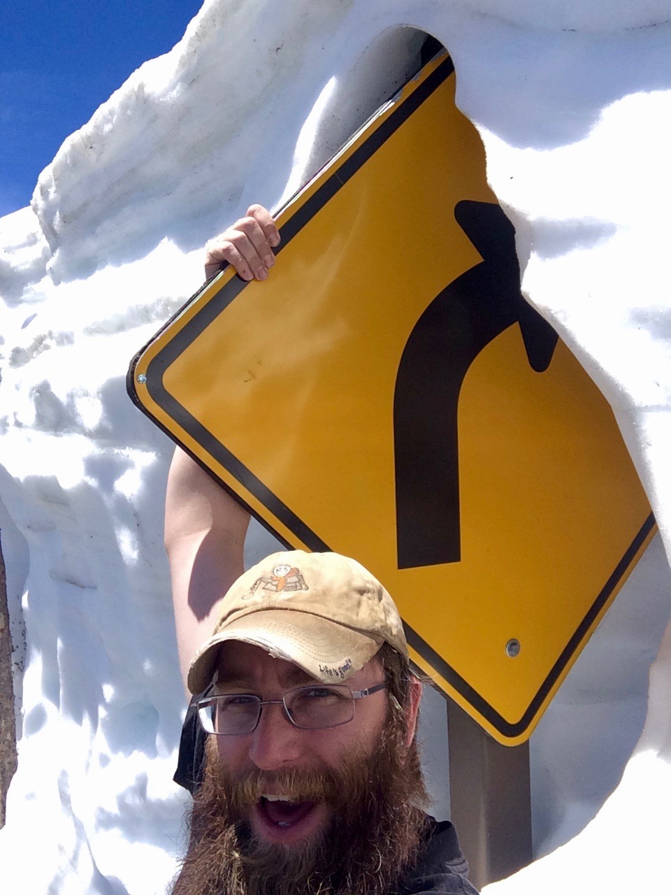
After a few stops in the rarified air above treeline, I followed the road as it wound its way back down to Earth. Solidly back in the forest at “only” 10,759′, Milner Pass is home to the Continental Divide, a wiggling dashed line on the map that delineates whether a given raindrop will ultimately return to the Pacific or the Atlantic.
I, like almost everyone who stopped at the Milner Pass parking lot, wanted a snapshot in front of the sign marking the Divide. I offered to take a picture for a couple if they would take mine afterwards. He posed facing east from the Atlantic side while she grabbed his waistband from behind as if dragging him back toward the Pacific.
“That was cute,” I said, handing their camera back. “And, it makes me feel better about the dumb picture idea I had.”
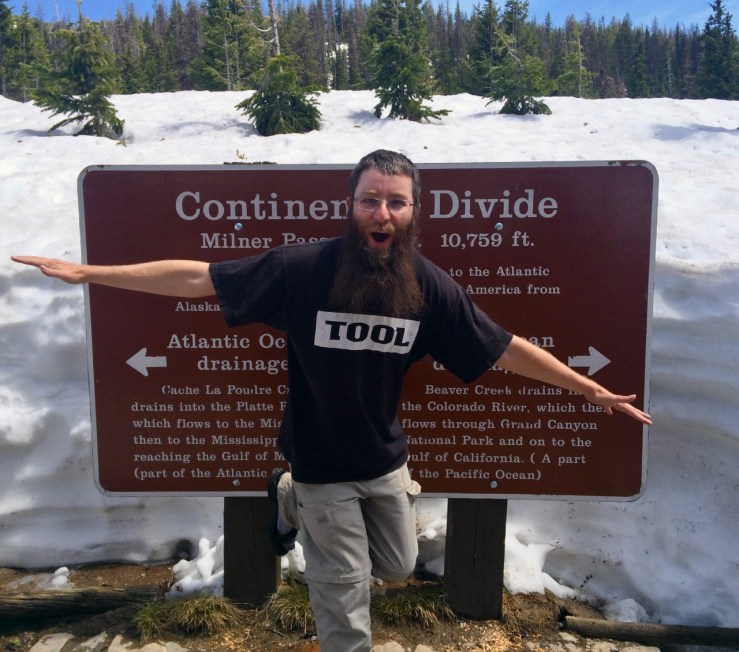
Pic: The dumb picture idea I had. Milner Pass, Rocky Mountain NP, CO
The hugeness of the Rockies became more real to me once I got closer to them. I’m beginning to see how awesome it would be to hike on the Continental Divide, amongst and upon those giants, when they’re not entirely snowbound. Rocky and Capitol Reef are the two parks I most wish to return to and explore further.